Geomagnetism.org

Researching the Earth's magnetic field

Constraining reversal rates in the lower Carboniferous

We have a new visitor in our lab these days, plastering, drilling and cutting handsamples of limestone blocks. Tereza Kamenikova is a Masters by Research student, doing research at Lancaster University supervised by Dr. Mark Hounslow. She also studies for a second Master’s degree at Charles University in Prague (Czech Republic). The project she is working on in Prague is called ‘Cyclicity and sedimentation rate analysis of the oldest pro-delta deposits in the Most Basin’. During her bachelor degree, she worked on the nature of magnetic anomalies on the Moon, by studying the Apollo 15 samples of lunar rocks.

Tereza is now in the field in South Cumbria, with Mark Hounslow and Courtney Sprain, to obtain more samples of Carboniferous limestones. This project aims to constrain the geomagnetic polarity of the lower Carboniferous, in order to gain a better understanding of the behaviour of the geomagnetic field during this time. South Cumbria has good exposures of lower Carboniferous limestones in abandoned quarries, of which Tereza is taking handsamples. The Carboniferous limestones in this region have been quarried for centuries, and are used as building stones, decorative stones, or are crushed to become rubblestone.

There has been practically no scientific research on these rocks over the last two decades, and we are hoping that Tereza’s project will enthuse a new generation of scientists to study these outcrops.


IGCP 652 – Bremen

As this is my first post, I should probably give a small introduction of myself and the project that I am working on. I am Annique van der Boon, and I am working on establishing reversal rates during the Devonian and Carboniferous, within the context of the DEEP project.

Last month, I went to Bremen, to the first meeting of IGCP 652 – Reading geologic time in Paleozoic sedimentary rocks . The IGCP projects are UNESCO initiatives that gather participants from all over the world to study a certain topic. IGCP 652 brings together astrochronology, radiometric dating and biostratigraphy, in order to improve the timescale of the Paleozoic, focusing on the Ordovician to Devonian.

The meeting started with a short course on astronomical tuning. For three days we followed lectures about Milankovitch cycles and how they are expressed in sedimentary successions. We then learned to use Astrochron software , in which you can analyse records with geological data for astronomical forcing. During the last day, we got to work with our own data. I had two sets of data from different sections, one of which did not show any cyclicity in the field, which was confirmed by using Astrochron. The other one looked very cyclic in the field, and  this one showed a very good match with one of the Milankovitch cycles, so I was very excited, as I had not done this kind of analysis before.

After the course, my favourite part of the meeting started: we went to look at some outcrops! Over the course of three days, we saw a lot of amazing geology in the Rhenish Massif. We went to quarries that exposed Devonian sediments and volcanic rocks, Permian salts, and Triassic oolites and stromatolites. Especially the Effenberg quarry was impressive. I also made a short video to shows some of the outcrops and explain the IGCP 652 project, which you can see below.

The last part of the meeting consisted of many great talks and posters (mostly) about Paleozoic sedimentary rocks. It was great to meet so many people that also work on the Devonian, and we established a lot of new collaborations during the meeting.

I am interested to find more Devonian and Carboniferous sedimentary records to do magnetostratigraphy on. We are looking for sediments that possibly hold a primary Devonian and Carboniferous magnetisation, and  thus show low thermal maturity (indicated for example by conodont alteration index values of <3) and no signs of chemical alteration. If you happen to know any, please get in touch!

Famennian rocks in the Effenberg quarry showing cyclic sedimentation, picture taken by Anne-Christine Da Silva

The Earth’s magnetic field reverses more often – now we THINK WE know why

The Conversation has just published an article on its website about a recent paper published in Tectonophysics by Mark Hounslow, Mat Domeier and myself. I would be more comfortable with the title above but the one chosen was a compromise between this and the one they wanted which was MUCH worse. Anyway, happy with the article itself – you can read it here:

https://theconversation.com/the-earths-magnetic-field-reverses-more-often-now-we-know-why-96957

The Earth, apparently…

Past, present and future under the same North

Perhaps it was in a tavern, among drinks, tobacco and music, that the philosopher Thales of Miletus (624-546 BC) excitedly explained about the existence of certain attraction between pieces of rocks. Who knows, it was out loud he said that attraction between them was due to a kind of soul inherent to this type of material. It is not possible to exactly know how it happened, however, indifferent of the scenario and behavior of Thales and those around him, it is a fact that a question was raised about natural magnetism. Few centuries later, the noises from feathers scraping the scrolls, wielded by philosophers like Plato, Aristotle, Democritus, and Lucretius, recorded the thoughts and theories that hovered at that moment in history on this subject, and since then the accumulation and propagation of knowledge about this thematic have never stopped. Interestingly, in the China of the first and second centuries, the greatest interest of thinkers was the way certain materials aligned to a common point when placed on surfaces free of friction.

From this point in the history, we can observe that we already had the basic elements to study materials with natural magnetization, and their influence when immersed into an external magnetic field (e.g., Earth’s magnetic field). Nowadays, it is not novelty that the curiosity perpetuated for centuries has implied in a wide knowledge about the Earth’s magnetic field. The advances in physico-mathematical theories, technological, and experimental observed today place us in a rich scenario of information and hypotheses about the mechanisms that generate this field, as well as the interaction between field and magnetic minerals.

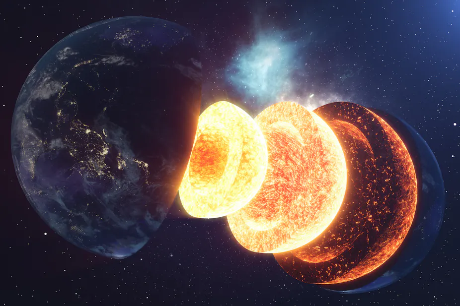
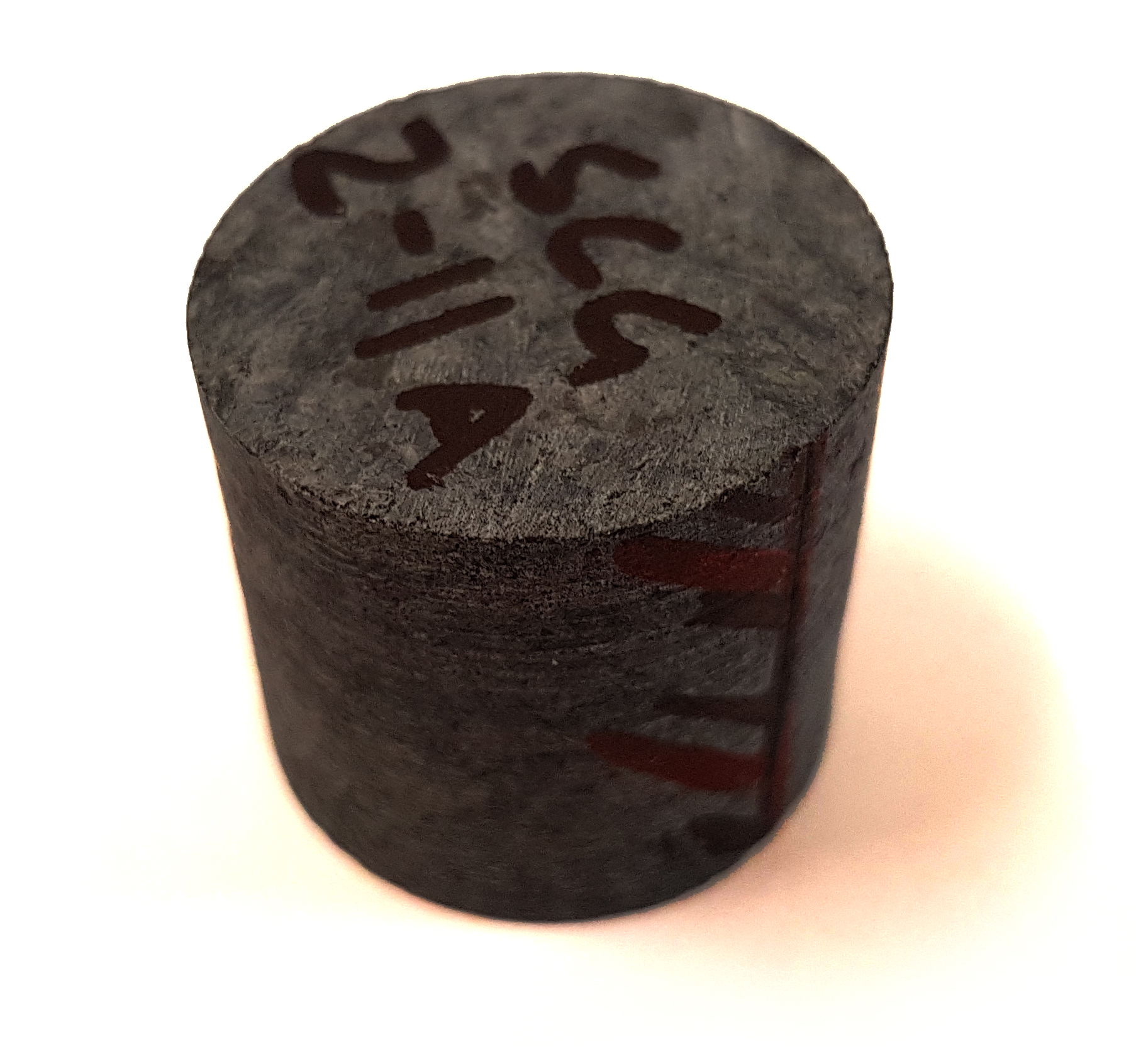
The geomagnetic field is generated by the movement of the conductive fluid at the outer core, located between 2890 and 5100 km deep in the Earth. At the surface, the observed magnetic field is composed of several components that vary as a function of time, but on average its main geometry is similar to a dipole. The field is continuously recorded in geological (e.g., volcanic rocks, speleothems, and sedimentary depositions) and anthropological made materials (e.g., ceramics, bricks, tiles).

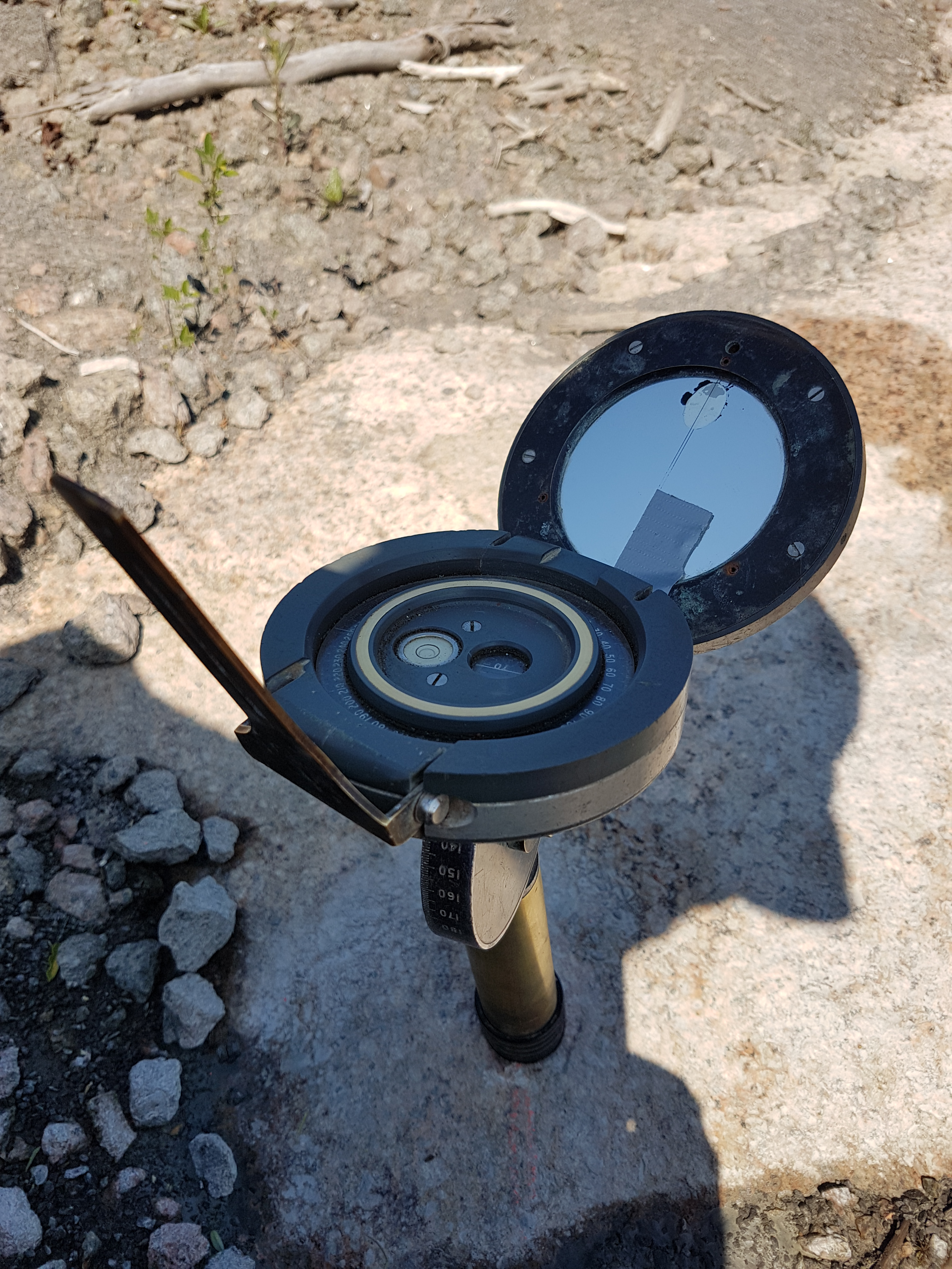
The Earth’s magnetic field is represented by its inclination, declination and intensity at each geographic location and age. To understand its evolution it is crucial to know the distribution of these parameters as a function of time. Since the 19th century, magnetic observatories, and later satellites, have been used to directly measure the components of the magnetic field, but before that we must rely on the magnetic record of geological and archeological material.

Geomagnetic records at the scale of millions to billions of years were fundamental to demonstrate the tectonic movements of lithospheric plates, providing a means for quantitatively assess the dynamic configuration of the upper layers of the planet. On the other hand, the geomagnetic record at the scale of thousands to hundreds of years is the way to probe the geodynamic processes acting at the deepest layers of the Earth, at the core and its neighborhood, including heat-flow changes at the core-mantle boundary, movements of the conductive fluid in the outer core, and interactions between inner and outer cores.

Another interesting research topic derived from the study of the Earth’s magnetic field is the imminent process of reversal of its polaritiy. The main component of the Earth’s magnetic field can be approximated by a geocentric and axial dipole. Its stability is balanced by the equilibrium of normal and reverse magnetic flux patches. When normal flux patches move to the poles and reverse flux patches move to the equator the geomagnetic dipole intensity increases and vice-versa. In this light, the analysis of both geomagnetic field and geodynamo models, which are constructed from all available data, suggests an asymmetry in the advective sources of the field implying in the decrease of the Earth’s magnetic dipole intensity in the last 185 years.

Under this motivation, a careful analysis of all the magnetic intensity estimates derived from archaeological and geological records for the last two thousand years was carried out. The main purpose of this analysis was to understand the evolution of the geomagnetic dipole for the last millennia and, consequently, to speculate whether the Earth’s magnetic field is actually moving towards a reversal of polarities. Interestingly, the results of our work indicated that the geomagnetic dipole intensity is occurring since ~ 700 CE, and it can be described, on a scale of millennia, as a constant trend (i.e., linear). Once the dipole decay trend described by the data analyzed is very similar to the mean trend observed from data recorded by observatories and satellites, it was suggested that the mechanism responsible for the current fall in magnetic field intensity had its beginning more than 1,400 years ago. Otherwise speaking, the break in the symmetry of dipole moment advective sources, which balance the average intensity of the Earth’s magnetic field, occurred more than 1,100 years ago than previously known.

Finally, the representation of the geomagnetic field is given by different components, such as, dipole, quadripolar, etc.; and each component has a specific range of intensity variation over time. Based on the most recent works, it is known that the dipole component of the geomagnetic field varies with a period of ~1,200 years. Therefore, based on this order of magnitude, we speculate that the current dipole decrease does not necessarily represent an imminent reversal of polarities.

Long story short, although the current ramblings about the magnetism of materials are very different from those made by Thales, it must be said that his curiosity allowed us to unravel the mysticism about magnetization; implying in all current knowledge about the Earth’s magnetism. The tavern might even have turned into a pub, but the north that guides them is the same.

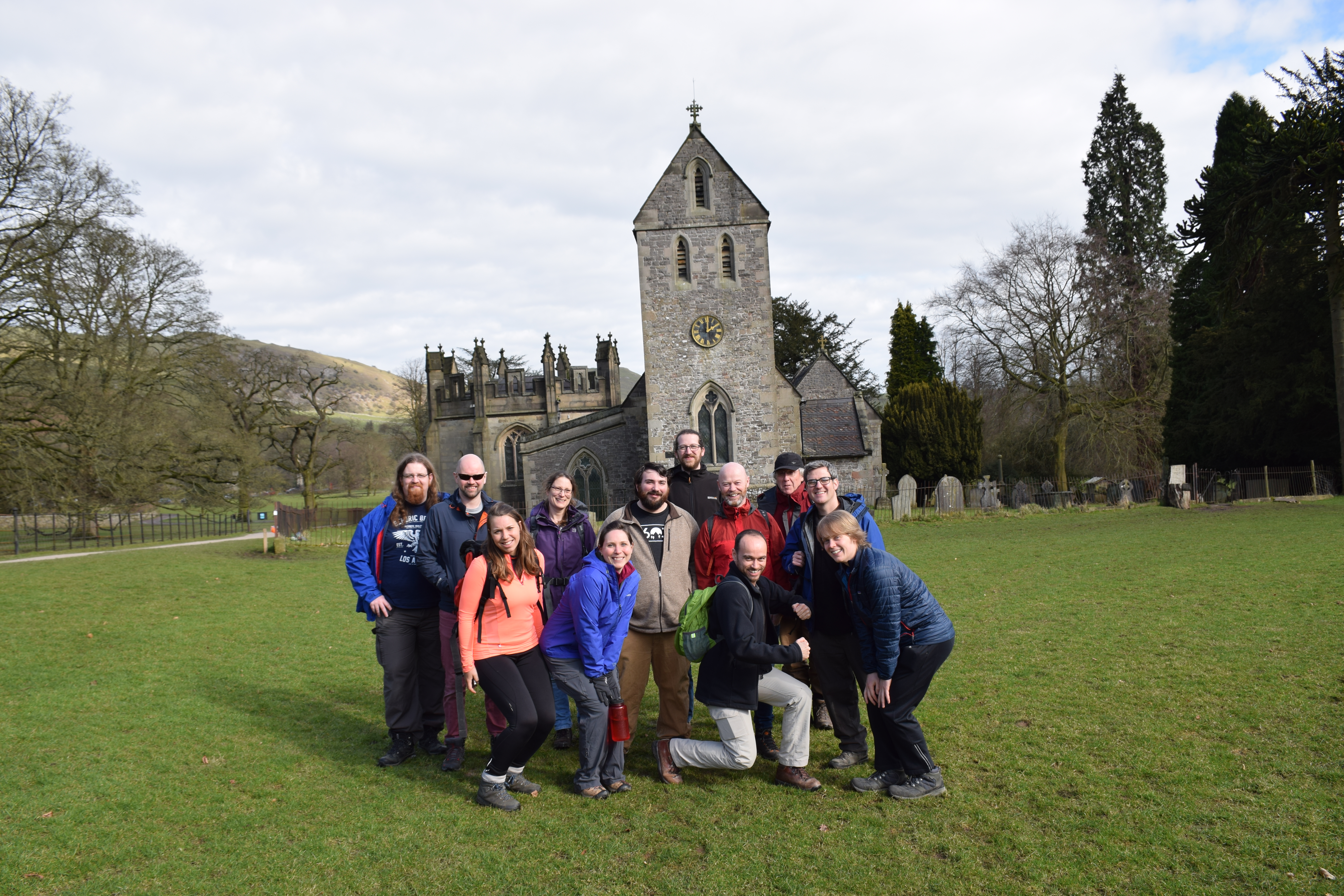
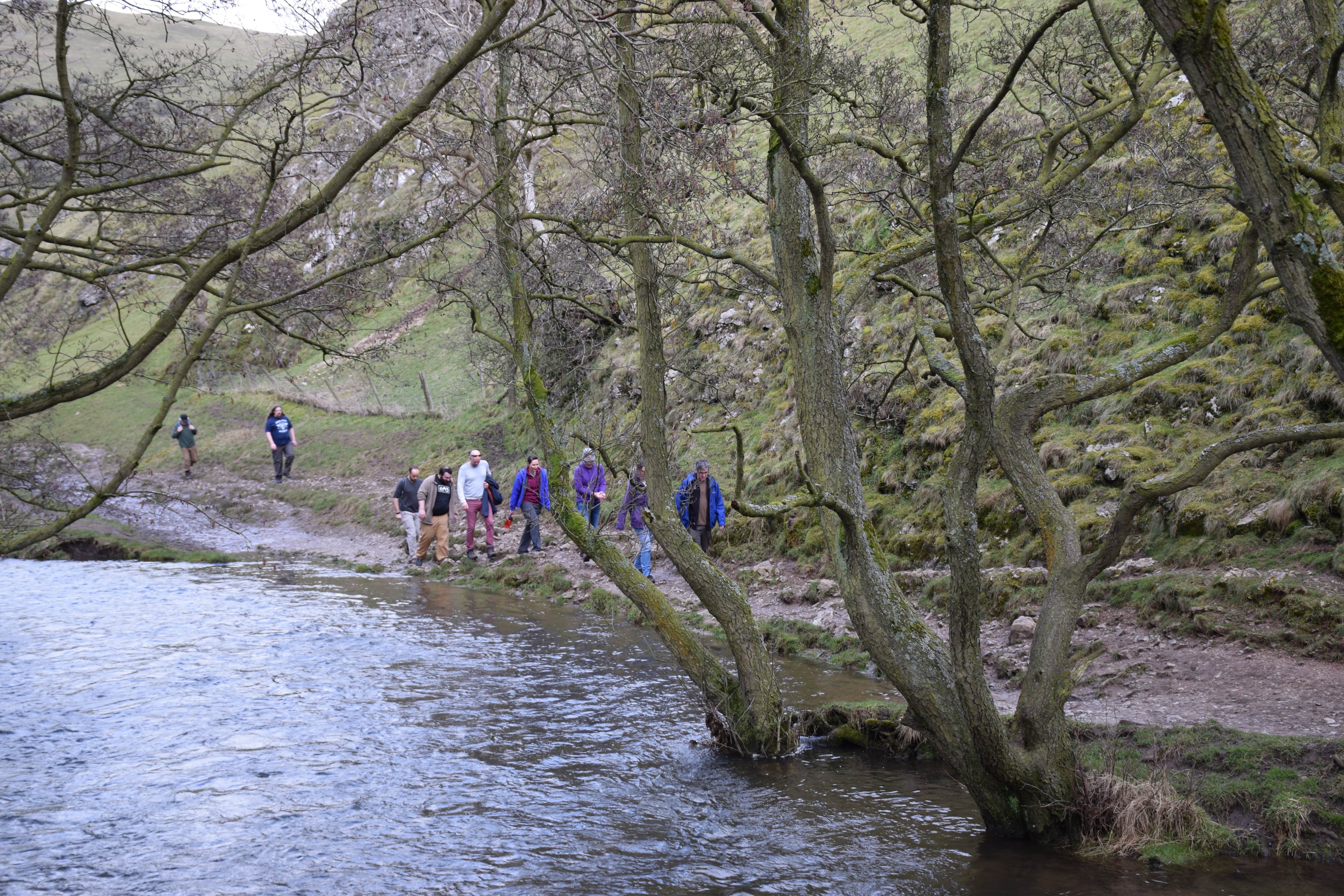
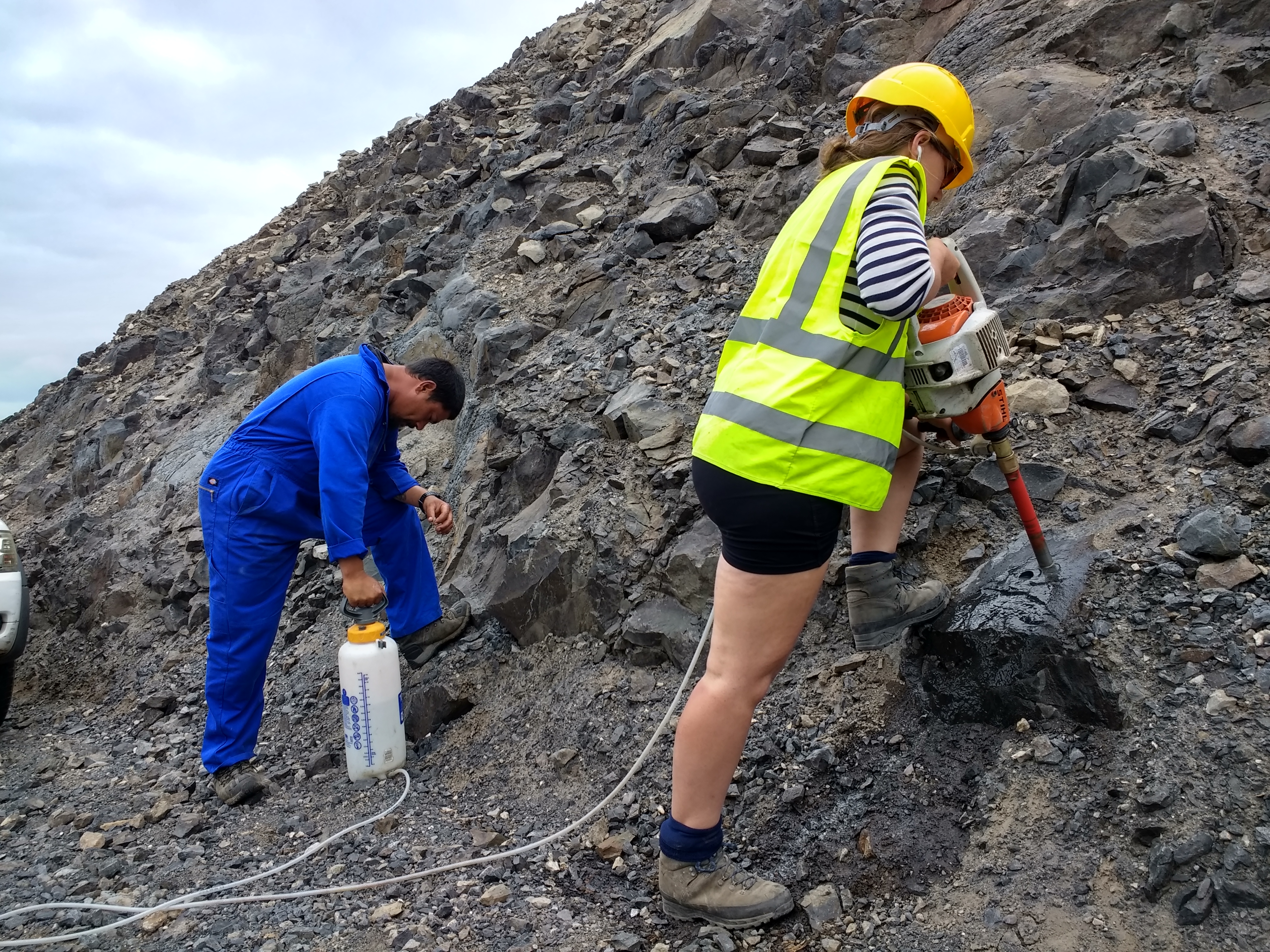
I am Wilbor Poletti, a PhD student at the Paleomagnetism Laboratory, University of São Paulo, Brazil (FAPESP-grant #2013/16382-0), and the work above mentioned was developed during my internship at the Geomagnetism Laboratory, University of Liverpool, Liverpool, UK, under the supervision of Prof. Dr. Andy Biggin.


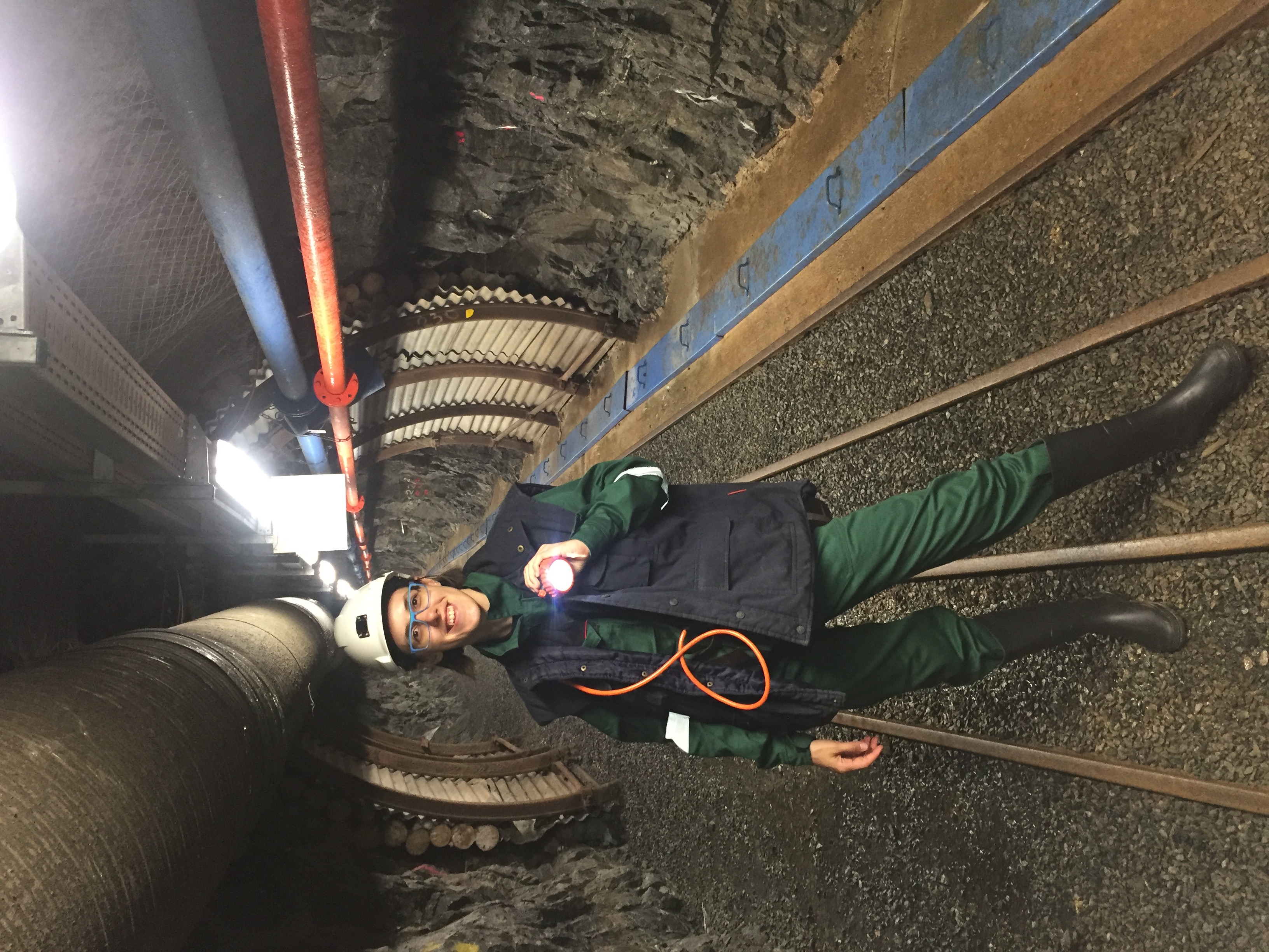
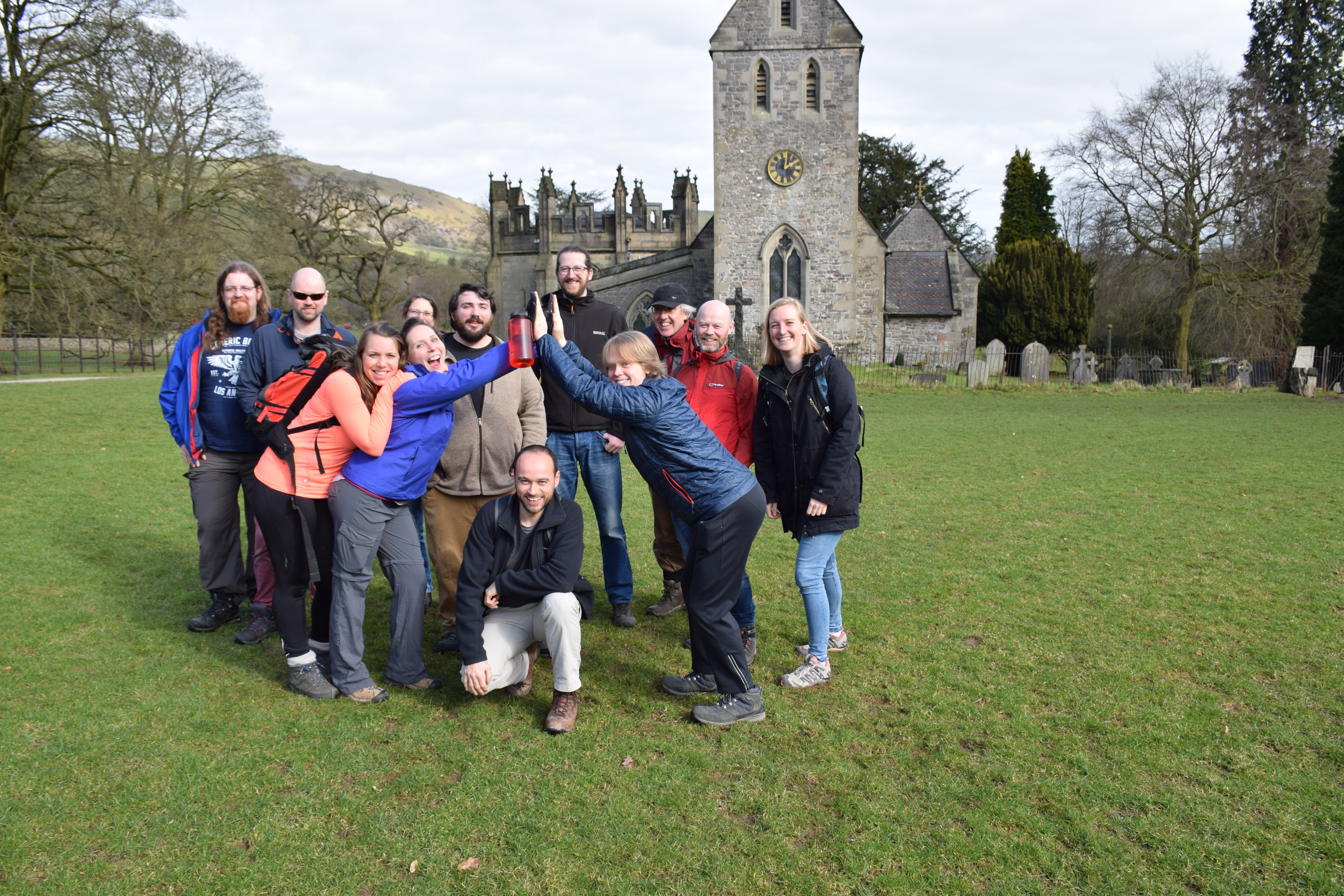
Personal archive photos: (left) I at the University of Liverpool, (right) my little partner and I at the Geomagnetism Laboratory!

Paper link: https://www.sciencedirect.com/science/article/pii/S0031920117302054

DEEP away meeting: Science, Pool and the Peak District!

With all the new scientists having arrived at the lab the past year (me being one of them) and the start of the DEEP research group, Andy (our almighty leader) decided it would be a good idea to take everyone out to the Peak District.

Monday morning we got off to a great start, with me being late due to other volunteering for the university that ran late, and the insane traffic we arrived an hour after we planned. We stepped out of the bus to a beautiful location where Chris (Davies) had been waiting for us. Each of us gave an interesting presentation of what our part in the DEEP project would be, and what we had been up to so far. Some interesting and complicated science was presented, and some embarrassing (for Dan) photo’s were shown. When it was time for dinner everyone was even more excited to be able to be a part of this promising research team. We showed some of our competitiveness in a nice shoot out game of pool, and there was some time for discussions with a nice cold beer (or two).

The next morning we started a structured discussion group split up into three groups (paleointensities, modelling and magnetic stratigraphies). We discussed our views on the next year, next three years and instant complications and possibilities, after which the outcomes were presented to the others.

We ended our outing with a nice beautiful hike in the area where we could test the water and mud resistance of our hiking boots/shoes.

The plan is to have these away meetings more frequently, and I personally think it was a great success (although I admit to some regretting moments). Thank you so much Andy and Michael for organising it!!!

The excluded island of Saint Helena

This January, Andy and I went to Saint Helena to collect rocks for my PhD. Just organising the trip there was already somewhat of an adventure. The airport just opened this October, and there had been some flights that had to return back to Africa because the wind was to strong to land on the cliff of the island called the Barn. Bringing our equipment on the plane is always a risk, but this time it was definitely not an option. The little plane that were to take us there would in no circumstance take our heavy drills and other tools. So we had to arrange a shipment and had to hurry with that too, since it would take over a month for the parcel to arrive on Saint Helena.

When the day finally came we flew to Johannesburg first. The plane to Saint Helena only goes once every week, so to avoid a delay of 7 days we decided to take 24 hours between the arrival in Joburg and the departure to Saint Helena. We had a nice hotel with pool, where Andy was working and I was enjoying the Sun (which we wouldn’t see much of in Saint Helena so I was happy I at least had some vitamin take-in). After a visit to the Apartheid museum and a nice meal in town, we were ready to get on the scary little plane the next day. After a stop in Windhoek we arrived on the magical island of Saint Helena. Literally in the middle of nowhere. Andy almost had a hart attack before we landed because he was sure we would fly into the cliff instead of land on it, but luckily everything went very smooth and soon we were in our little bungalow on top of the Ladder Hill. Ladder Hill road is a road that takes you all the way down to town, and where if you are there at the wrong time and you want to go down, you will be stuck for at least 30 minutes, since you have to give way to the traffic driving uphill.


The first few days we were mainly exploring the island and trying to get permission to drill wherever we wanted. They had warned us that drilling on Ladder Hill would probably not be permitted because of the rockfall and avalanche risk. Luckily the Rock Guards not only gave us permission within seconds of meeting us, but they also decided to stay with us the entire trip, which gave us a lot more possibilities of drilling far away from where the car could get, since they could carry A LOT of weight. Besides these lovely islanders (one of which had never been off of Saint Helena), we also had help from our field assistant Dave, who called himself the Bugman (everyone on Saint Helena has a nickname which even gets passed over through generations) because of his insane knowledge of every insect. A true walking encyclopedia. Dave was the person who helped us find our way on the island and even helped us with his Geology knowledge from a degree from years ago (which not only says something about Dave’s memory, but also about mine and Andy’s knowledge in geology).

In 2 weeks you can do a lot more sampling than I would have expected before hand. Things ran smoothly and although we had some problems with the drills, we managed to spend our time very efficiently. That also lead to us being absolutely exhausted after the first week and a half. In the start we were so ambitious, drilling from 8.30 or 9 to 19.00 everyday, that we manage to drill 26 sites at Ladder Hill in 4 days, and 10 sites in Bank’s Valley (an hour walk with all our equipment each day) in another 2 days. We continued drilling the beautiful dykes at Sandy Bay in the south of the island, where we did a beautiful hike to a non-existing set of flows. After this first week I saw the number of samplebags on the cupboard increasing and increasing, and slowly my fieldbook started to get full (and extremely valuable). The fear for having to measure these samples for the rest of my life started to increase each day, but we did not want to waste ANY time. So we kept going and ended up with 300 sample cores and 62 hand samples from 52 different sites. There were definitely some life threatening situations both in cars as in the field, but we made it in the end. And both Andy and me were quite happy with the results.

As a reward for working this hard, we treated ourselves to a nice dive/snorkeling session where Andy had another scare for his life when he got eye to eye with a huge devil ray. He was seriously debating trying to get to shore (with high waves splashing on high rocks) when he saw the diving group swim up to take pictures and realised it was probably fine. Happy like a little kid I came back, and was desperate to go again the next morning. Andy almost kissed the ground when we came back, but he had a great time too ;-).

After this amazing (or amazingly scary) experience we still had to pack all our rocks in the box that had to be send back to the U.K. I say all, but technically we should have probably not packed ALL the samples, seen as they are still not here and I have been back over a month. However we were too tired to realise this and very disciplined checked off every sample bag and handsample when packing it in the big box with the equipment.

The only thing left to do was get this big box in our car and down to the shipping containers. This, however simple it sounds, was definitely a difficult job. But we made it and the relaxing could finally begin. But who wants to relax when you can do a hike to the highest point on the island? Dave took us on a beautiful walk through the green areas of the middle of the island. Something completely different than the views that we had seen so far. The cliffs on the shore of the island combined with the immensely green hills land inwards gave such a beautiful and dramatic view that we almost didn’t want to go down. Luckily we did, or we would have missed a smash goodbye party with the rockguards and a lovely meal with loads of breadrolls.

We had an amazing fieldwork thanks to the help of the Saint Helena Government (specifically Sam and Isabel) and our help in the field from Dave the Bugman and the Rock guards. And of course thanks to Andy!

Hopefully the rocks will be here soon, and I can finally start some measurements.

Ô Canada!

This summer, Simon Lloyd’s and my PhD projects of researching Earth’s magnetic field of the Proterozoic started in the geomagnetic laboratory at University of Liverpool. After a month of literature review, our attention was fully caught by Canada, where (Neo-)Proterozoic dykes have been a focus of research for the last 30 years.  Therefore, the two of us, accompanied by Andy Biggin, immediately and figuratively set sails to Canada to kick-start the first phase of our projects.

Hoping to build on the foundation of Dr. Henry Halls’ studies of the Franklin- and Grenville-Dykes, our journey’s first stop had to be his lab at University of Toronto! While his studies focussed on determining the ancient field directions to gain knowledge about the palaeolocation of Laurentia, my research will deal mostly with palaeointensities of the Ediacaran period (635-541Ma). As part of the DEEP project, the goal of my project is to gain a better understanding of Earth’s interior by analysing the ancient field strength while dealing with conflicting data of palaeofield directions in the Ediacaran period.

After one or two detours due to slight inaccuracies of our group’s two navigators (who will remain anonymous at this point), we finally reached University of Toronto’s palaeomagnetism lab in the outskirts of the University’s campus. There, Henry awaited us with his treasure – drawers full of samples, floppy drives full of measurement data and an enormous amount of additional knowledge and kindly allowed us to use his samples and data for our projects. The picture below shows the main part of the lab with the most elegant magnetometer in the centre. Despite the samples being perfectly organised, sorting out samples that are expected to produce good palaeointensity results took nearly a full day. But it was well worth the effort, as we ended up with over 100 cylinder specimens from 16 sites of the Grenville dykes for my project and about the same amount of specimens for Simon’s project.

In addition to the Grenville dyke samples, a second study area consisting of Ediacaran volcanic rocks of Newfoundland’s west coast will be used in my study as well. The directions of these rocks have been studied by Dr. Phil McCausland and Dr. Joe Hodych in 1998. Samples from 10 sites of the so-called Skinner Cove volcanics are currently being mailed from Memorial University of Newfoundland to our lab in Liverpool for intensity measurements.

As Toronto, Canada’s largest city, is always worth a visit, we concluded this first part of our Canada-adventure by strolling around the waterfront and taking a peek into downtown. It was great to see the lovely skyline and the CN Tower (shown in the picture below) while every other person was dressed in blue, thanks to a home game of the Toronto Blue Jays.

At this point we would like to express our gratitude to Henry Halls, Phil McCausland and Joe Hodych for their help and contributions to get us started in our projects. Now, back in the lab, we have started the first measurements and are excited to uncover the rocks’ last secrets.

Fieldwork in Canada!

It’s that chance for a Palaeomagnetist to get from behind the desk and into, perhaps, a part of the world they have not seen before. It’s a chance to see the ancient rocks in their natural environment and the opportunity to be at the very start of project at the data collection stage; the results of which will hopefully provide brand new information to the scientific community and indeed the world.

Why Canada?

This is part of a DEEP PhD project, in which we are trying to determine the strength of Earth’s ancient magnetic field at a time between 500 and 1000 million years ago. The first stage involves collecting rock samples from igneous events which occurred during this time period, many of which can be found in Canada.

The field trip concentrated on two small igneous plutons which were emplaced at around 530 million years ago, located in Chatham-Grenville and Mont Rigaud respectively. Within each area, we took samples from several sites (up to ten) in order to obtain a wide spread of samples, with GPS locations taken at  each of the sites as standard.

Later on, back at the laboratory, we will carry out palaeointensity analysis on the samples. The amount of magnetisation trapped in the rock is almost linearly related to the ancient magnetic field strength; because of this relationship, we are able obtain estimates for the strength of the ancient field.

A previous study had been carried out by Dr Phil McCausland in 2002 who, amongst other things, was interested in the ancient direction of the field. Where possible, we concentrated our efforts at known locations which gave good palaeodirection results. This was not easy because much had changed in the

When collecting samples, there are a number of considerations;

1) Because the remanence is only locked in to the rock as the rock cools below a certain temperature, the rock sample must also be kept cool whilst drilling it from the rock. The image below shows Phil McCausland drilling a sample from an outcrop whilst Daniele Thallner pumps water through the drill and out of the end to keep the sample cool.

2) The rock sample must be precisely orientated in x y and z, so that we can reproduce the orientation of the rock in the laboratory. This orientated reference frame is crucial if we want to determine the direction of the ancient geomagnetic field.

Below is an image of the sun compass used by the Liverpool Geomagnetism team. This is used to orientate the sample more accurately than using a magnetic compass with it’s associated errors (the compass needle can be deflected by the magnetic material within the rock when trying to measure).

The compass gets inserted and secured in place around the drilled core sample. First job is to make sure the spirit level bubble is centred. The compass only tilts forward and back so it must be rotated during this process; as a result, it is able to determine true inclination of the core sample. Because the bubble is centred, the compass is level in both x and y.

We take a sun sighting by turning the sun compass so that the sun casts a shadow though a small hole on to the fine line on the mirror, we then take a reading and record the time; this information is then put through some software to determine the X axis reading for the core sample. To obtain the Y axis reading, we simply add 90 degrees.

A magnetic compass reading of the X axis is also taken for comparison; this is achieved by aligning the sun compass with the dip direction of the core and placing a magnetic compass against the axis of the mirror.

The image below shows the X and Y axes over a plan view of the core sample/ specimen. Both are measured as east of North, or in other words as the angular distance from North in a clockwise direction.

A standard 1” core specimen is shown (above right) with the ‘z’ axis and direction marked on the side of the specimen. This has been cut from a core, and depending how deep we drilled, we might expect to get ~3 specimens per core.

This specific core is marked as SCG2-11A

SCG is the name of the area which includes several sites

2 is the designated site number

11 is the core number

A is the specimen designation from this core, followed by B etc.

From Chatham-Grenville, a total of 138 standard 1” core specimens were produced from 7 different sites, plus some hand samples from a further site will produce more specimens.

A total of 35 Hand samples from 10 different sites were collected from Mont Rigaud; these can be orientated, drilled and cut in the laboratory, albeit with slightly less accuracy, to produce several core from each hand sample, which are then divided into specimens.


DEEP gets underway

Determining Earth Evolution from palaeomagnetism (DEEP) is the new group formed within the University of Liverpool as a result of funding from The Leverhulme Trust. This exciting project will see us attempting to significantly improve global records of geomagnetic bDEEPlogoehaviour over the last billion years, capture that behaviour in statistical field models, and compare it with the outputs of numerical simulations of magnetic field generation in Earth’s core.

Palaeomagnetism (the study of records of ancient geomagnetic records preserved in rocks) has long been used to tell us about conditions in Earth’s core in the past but the idea with DEEP is to take this to a new level and try to answer some exciting outstanding  research questions which you can read on our official DEEP website.

Anyway, the big news is that, with the arrival of the first two PhD Students, Simon Lloyd and Daniele Thallner, we finally started last week! They join Courtney Sprain, our new post-doctoral research associate (PDRA) who started a week earlier on our NERC Standard Grant “Phanerozoic palaeomagnetic variations and their implications for the Earth’s deep interior”. They will also be joined by two more PhD students, three more  PDRA’s, and a NERC Independent Research Fellow over the coming months and years. Things are getting DEEP at Liverpool, and I for one, am pretty excited about that.

AGU 2016

(Written by our newest PhD, Michael Grappone)

Even though it is only my third month as a PhD student in the lab, I just had the opportunity to attend the 2016 American Geophysical Union conference.  The Duncan Norman Research Scholarship generously provided funding for the flight to the conference (and then home) from England, since the United States is my home country.  I didn’t have a presentation or a poster, so before coming, I had to plan the optimal strategy to lurk and get a feel the conference.  Oh and plan my networking; lots of networking within the paleomagnetics community.

I attended the student pre-session conference, which was aimed at giving us the tools needed both for the workplace and to interact with the scientific community; basically, networking and effective communication.  We had a great activity on the nexus of water, energy, and the environment in a small group.  Like in real life, there was no clear answer and we decided on a portfolio of ideas combining multiple strategies, including 1 dam (partnered with a Native American tribe), a few delocalized dams, and solar panel installations.

The second day of AGU (the first day of presentations) started with the Geosciences Workforce Workshop.  8 panelists representing 8 different paths a geoscience PhD could take you spoke to us and then joined us for roundtable discussions over lunch.  The bad winter weather in the Midwest meant that many potential attendees had not arrived yet, so our roundtable discussions consisted of 2 students and a panelist.  It was great to be able to talk so intimately about each possible path.

Tuesday, Wednesday, and Thursday were all focused on paleomagnetics, which was also the reason I came.   I saw a few people from the Caltech group, as well as from MIT, Cambridge, University of Hawaii, and UC Berkeley.  Between the posters, presentations and the RAPID consortium lunch, I almost had a geomagnetics overload.  Who am I kidding?  It was great.

Friday had some of the best presentations, in my opinion.  They had a very informative session on magnetic methods as applied to chronology.  After lunch was my favorite session: Up-Goer Five.  Each researcher gave a 6-8 minute presentation on their topic of research using only the “ten hundred” most common words in English.  Did you know that “rain hot cold change” affects the “big blue water”?  On the same point, the last presentation’s title was “Many people agreeing that something is true is not the same thing as people who spend their life studying something (who speak the same way and agree about what makes something true) agreeing that something is true!”  It’s a long title, but a very important one.

I’m going to ask if for the EAO DTP Summer Conference we can do Up-Goer Five presentations instead of 3-minute thesis because these were a lot of fun and a great exercise for the presenters.

I give AGU 5 out of 5 and am looking forward to New Orleans next year.

Page 2 of 7

Powered by WordPress & Theme by Anders Norén