Researching the Earth's magnetic field

Month: November 2017

Ô Canada!

This summer, Simon Lloyd’s and my PhD projects of researching Earth’s magnetic field of the Proterozoic started in the geomagnetic laboratory at University of Liverpool. After a month of literature review, our attention was fully caught by Canada, where (Neo-)Proterozoic dykes have been a focus of research for the last 30 years.  Therefore, the two of us, accompanied by Andy Biggin, immediately and figuratively set sails to Canada to kick-start the first phase of our projects.

Hoping to build on the foundation of Dr. Henry Halls’ studies of the Franklin- and Grenville-Dykes, our journey’s first stop had to be his lab at University of Toronto! While his studies focussed on determining the ancient field directions to gain knowledge about the palaeolocation of Laurentia, my research will deal mostly with palaeointensities of the Ediacaran period (635-541Ma). As part of the DEEP project, the goal of my project is to gain a better understanding of Earth’s interior by analysing the ancient field strength while dealing with conflicting data of palaeofield directions in the Ediacaran period.

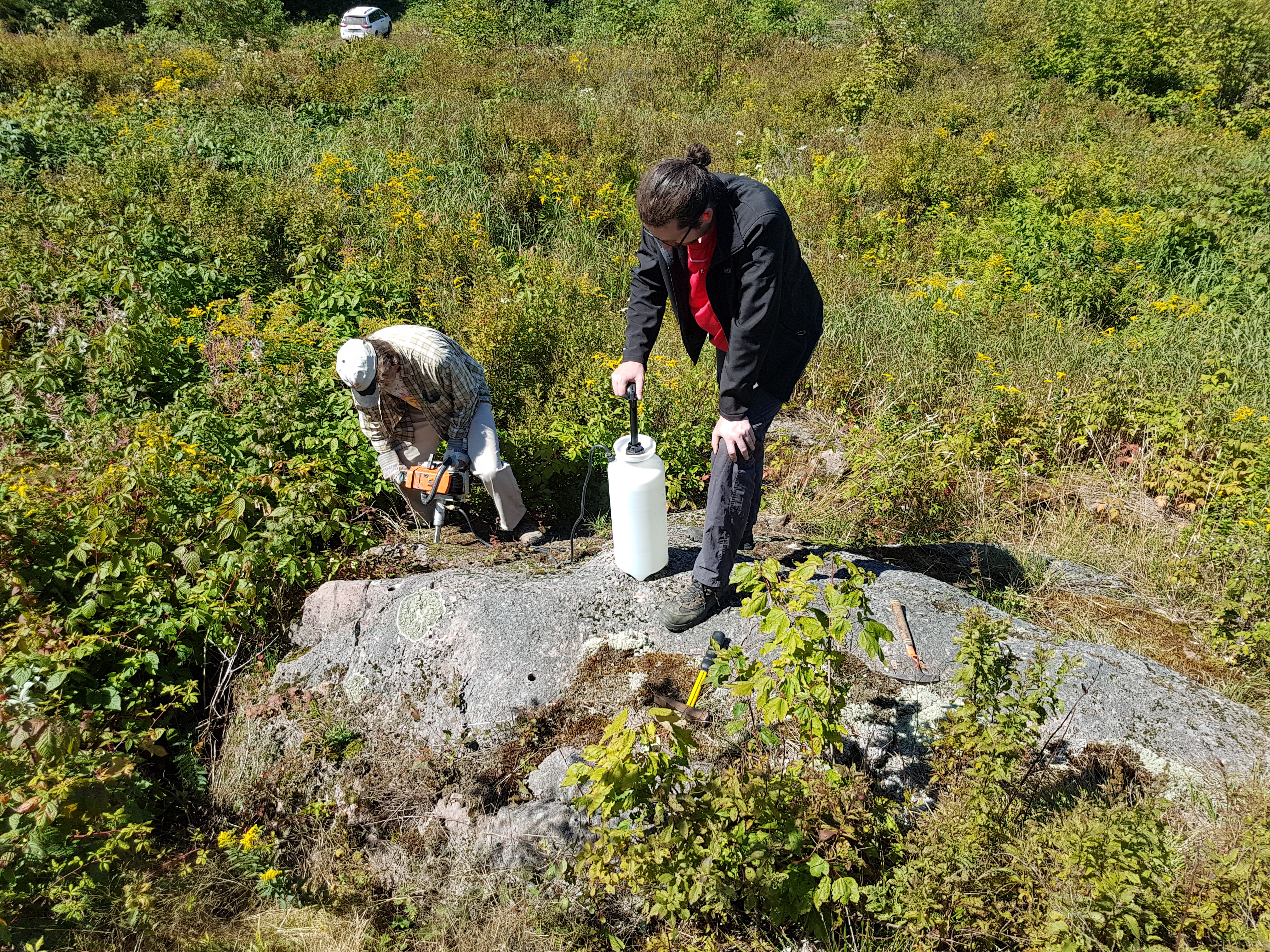
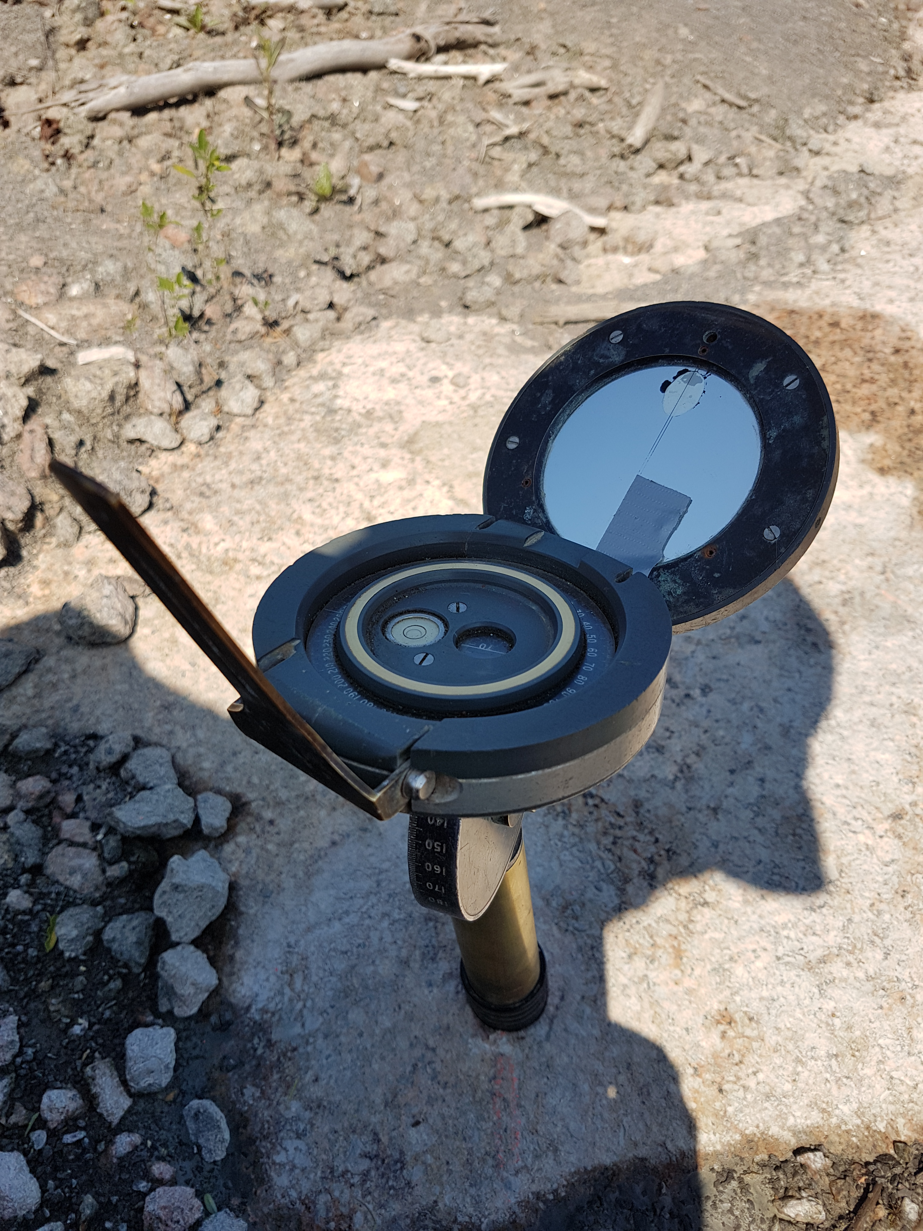
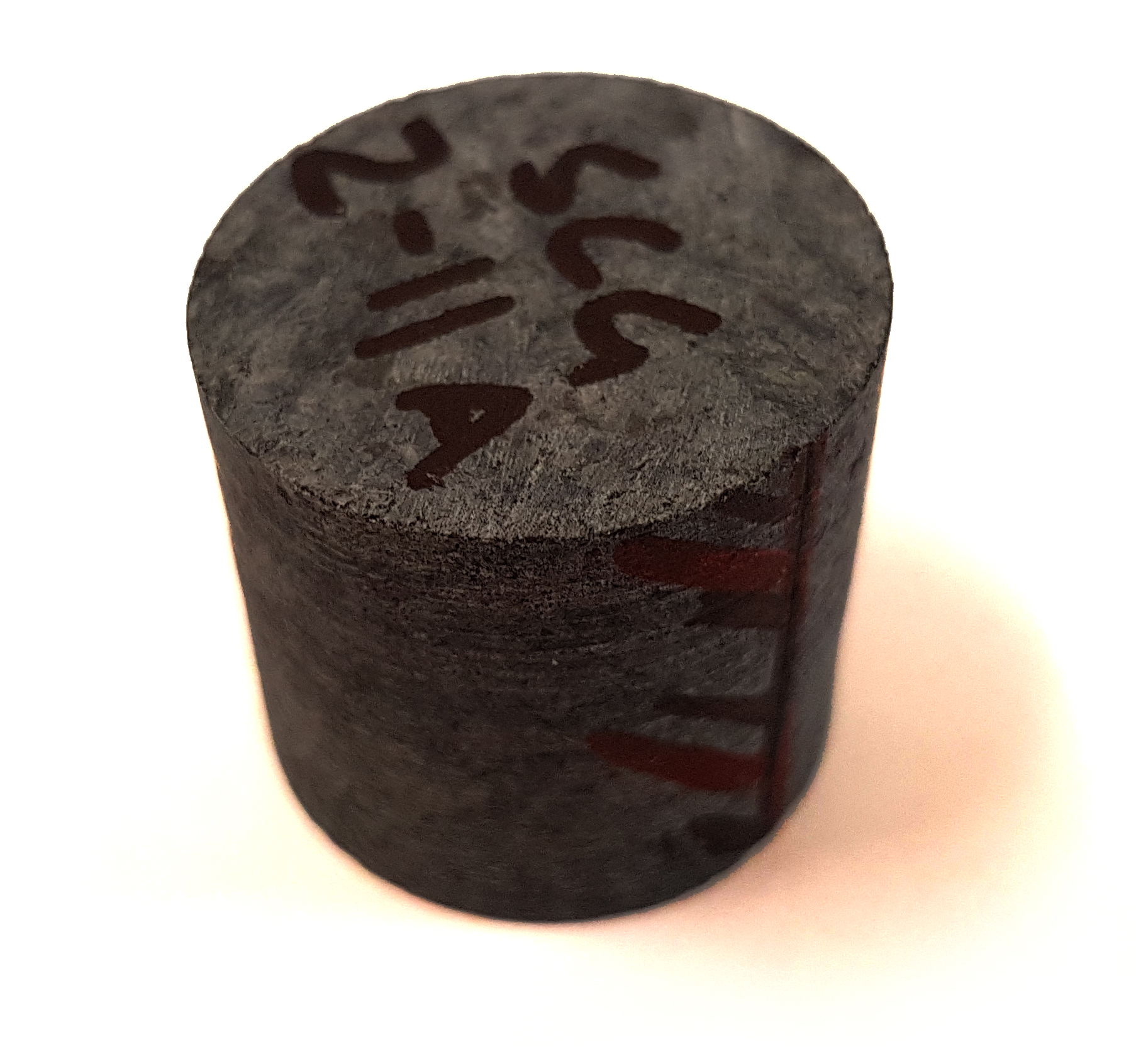
After one or two detours due to slight inaccuracies of our group’s two navigators (who will remain anonymous at this point), we finally reached University of Toronto’s palaeomagnetism lab in the outskirts of the University’s campus. There, Henry awaited us with his treasure – drawers full of samples, floppy drives full of measurement data and an enormous amount of additional knowledge and kindly allowed us to use his samples and data for our projects. The picture below shows the main part of the lab with the most elegant magnetometer in the centre. Despite the samples being perfectly organised, sorting out samples that are expected to produce good palaeointensity results took nearly a full day. But it was well worth the effort, as we ended up with over 100 cylinder specimens from 16 sites of the Grenville dykes for my project and about the same amount of specimens for Simon’s project.

In addition to the Grenville dyke samples, a second study area consisting of Ediacaran volcanic rocks of Newfoundland’s west coast will be used in my study as well. The directions of these rocks have been studied by Dr. Phil McCausland and Dr. Joe Hodych in 1998. Samples from 10 sites of the so-called Skinner Cove volcanics are currently being mailed from Memorial University of Newfoundland to our lab in Liverpool for intensity measurements.

As Toronto, Canada’s largest city, is always worth a visit, we concluded this first part of our Canada-adventure by strolling around the waterfront and taking a peek into downtown. It was great to see the lovely skyline and the CN Tower (shown in the picture below) while every other person was dressed in blue, thanks to a home game of the Toronto Blue Jays.

At this point we would like to express our gratitude to Henry Halls, Phil McCausland and Joe Hodych for their help and contributions to get us started in our projects. Now, back in the lab, we have started the first measurements and are excited to uncover the rocks’ last secrets.

Fieldwork in Canada!

It’s that chance for a Palaeomagnetist to get from behind the desk and into, perhaps, a part of the world they have not seen before. It’s a chance to see the ancient rocks in their natural environment and the opportunity to be at the very start of project at the data collection stage; the results of which will hopefully provide brand new information to the scientific community and indeed the world.

Why Canada?

This is part of a DEEP PhD project, in which we are trying to determine the strength of Earth’s ancient magnetic field at a time between 500 and 1000 million years ago. The first stage involves collecting rock samples from igneous events which occurred during this time period, many of which can be found in Canada.

The field trip concentrated on two small igneous plutons which were emplaced at around 530 million years ago, located in Chatham-Grenville and Mont Rigaud respectively. Within each area, we took samples from several sites (up to ten) in order to obtain a wide spread of samples, with GPS locations taken at  each of the sites as standard.

Later on, back at the laboratory, we will carry out palaeointensity analysis on the samples. The amount of magnetisation trapped in the rock is almost linearly related to the ancient magnetic field strength; because of this relationship, we are able obtain estimates for the strength of the ancient field.

A previous study had been carried out by Dr Phil McCausland in 2002 who, amongst other things, was interested in the ancient direction of the field. Where possible, we concentrated our efforts at known locations which gave good palaeodirection results. This was not easy because much had changed in the

When collecting samples, there are a number of considerations;

1) Because the remanence is only locked in to the rock as the rock cools below a certain temperature, the rock sample must also be kept cool whilst drilling it from the rock. The image below shows Phil McCausland drilling a sample from an outcrop whilst Daniele Thallner pumps water through the drill and out of the end to keep the sample cool.

2) The rock sample must be precisely orientated in x y and z, so that we can reproduce the orientation of the rock in the laboratory. This orientated reference frame is crucial if we want to determine the direction of the ancient geomagnetic field.

Below is an image of the sun compass used by the Liverpool Geomagnetism team. This is used to orientate the sample more accurately than using a magnetic compass with it’s associated errors (the compass needle can be deflected by the magnetic material within the rock when trying to measure).

The compass gets inserted and secured in place around the drilled core sample. First job is to make sure the spirit level bubble is centred. The compass only tilts forward and back so it must be rotated during this process; as a result, it is able to determine true inclination of the core sample. Because the bubble is centred, the compass is level in both x and y.

We take a sun sighting by turning the sun compass so that the sun casts a shadow though a small hole on to the fine line on the mirror, we then take a reading and record the time; this information is then put through some software to determine the X axis reading for the core sample. To obtain the Y axis reading, we simply add 90 degrees.

A magnetic compass reading of the X axis is also taken for comparison; this is achieved by aligning the sun compass with the dip direction of the core and placing a magnetic compass against the axis of the mirror.

The image below shows the X and Y axes over a plan view of the core sample/ specimen. Both are measured as east of North, or in other words as the angular distance from North in a clockwise direction.

A standard 1” core specimen is shown (above right) with the ‘z’ axis and direction marked on the side of the specimen. This has been cut from a core, and depending how deep we drilled, we might expect to get ~3 specimens per core.

This specific core is marked as SCG2-11A

SCG is the name of the area which includes several sites

2 is the designated site number

11 is the core number

A is the specimen designation from this core, followed by B etc.

From Chatham-Grenville, a total of 138 standard 1” core specimens were produced from 7 different sites, plus some hand samples from a further site will produce more specimens.

A total of 35 Hand samples from 10 different sites were collected from Mont Rigaud; these can be orientated, drilled and cut in the laboratory, albeit with slightly less accuracy, to produce several core from each hand sample, which are then divided into specimens.


Powered by WordPress & Theme by Anders Norén